Building date: 1835-1836, 4/18/1859 - deliberately set fire to destroy it due to structural integrity fears.
Original use: Church
Corner structures:
Mortar application and content:
Types and uses of stones:
Types and choice of windows:
Structures with similar masonry details:
Masons who worked on building: John Layton
Unique features:
Map views courtesy Google Maps. Location is approximate; 43°09'16.74"N 76°52'43.39"W.
Town of Rose and Wayne County 1978 Highway Maps
Ros-6 First ME Church of Rose history sheet. From the personal research of cobblestone historian Karen Crandall.
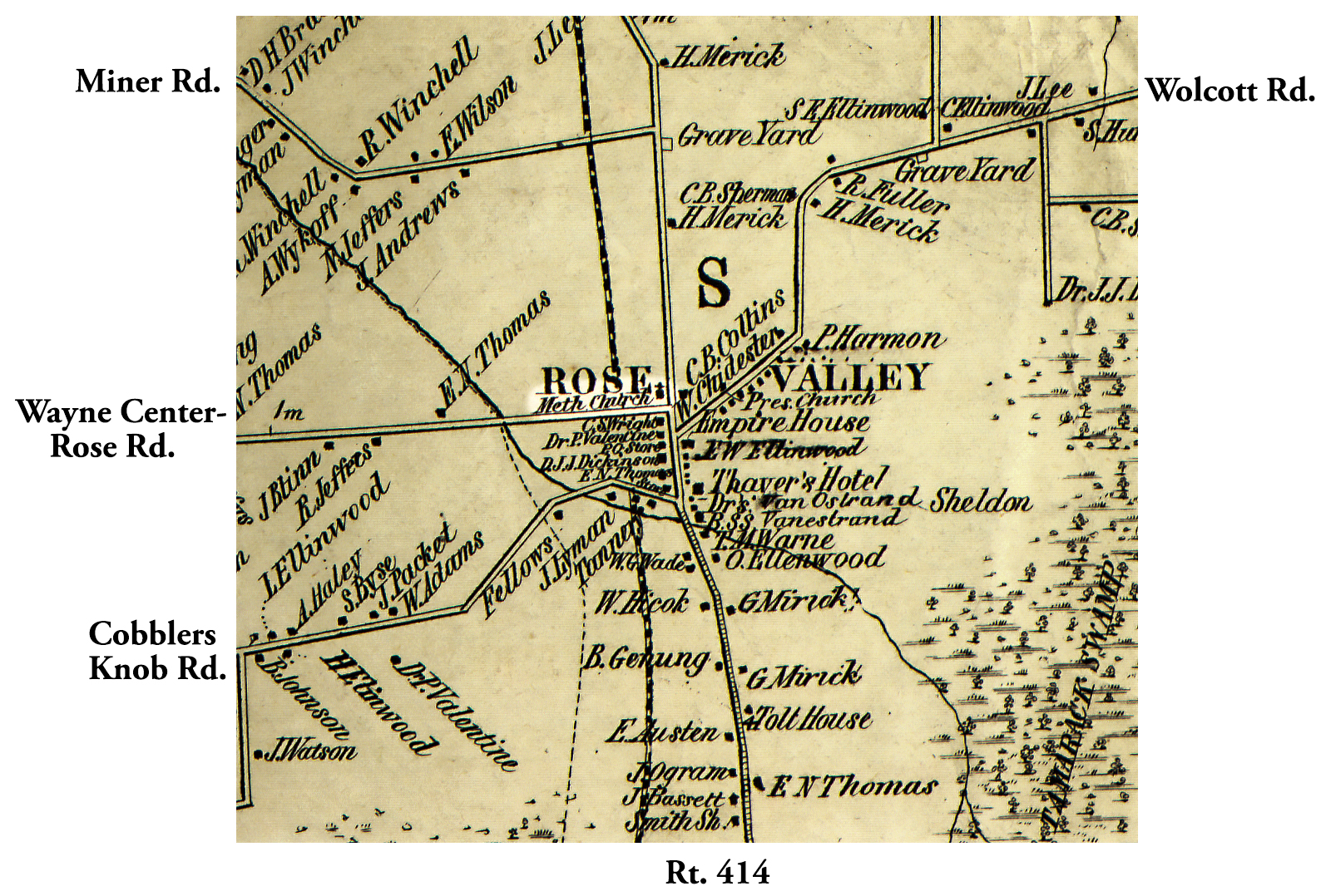 1853 Wayne County Ros-6 Excerpt Map.jpg | 
|
¹ 1853 Wayne County Ros-6 Excerpt Map courtesy Library of Congress.
